
芳苑鄉 topographic map
Interactive map
Click on the map to display elevation.
About this map
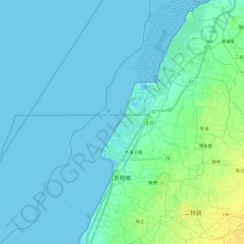
Name: 芳苑鄉 topographic map, elevation, terrain.
Location: 芳苑鄉, Comté de Changhua, Taïwan (23.87728 120.26065 24.04789 120.40883)
Average elevation: 13 ft
Minimum elevation: -7 ft
Maximum elevation: 62 ft