
Fort Leavenworth topographic map
Interactive map
Click on the map to display elevation.
About this map
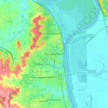
Name: Fort Leavenworth topographic map, elevation, terrain.
Location: Fort Leavenworth, Leavenworth County, Kansas, 66027, USA (39.30518 -94.96170 39.38518 -94.88170)
Average elevation: 833 ft
Minimum elevation: 741 ft
Maximum elevation: 1,112 ft