
Ázere topographic map
Interactive map
Click on the map to display elevation.
About this map
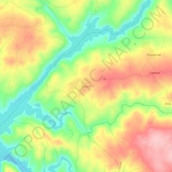
Name: Ázere topographic map, elevation, terrain.
Location: Ázere, Tábua, Coimbra, 3440-604, Portugal (40.32878 -8.10933 40.36878 -8.06933)
Average elevation: 627 ft
Minimum elevation: 361 ft
Maximum elevation: 902 ft
Other topographic maps
Click on a map to view its topography, its elevation and its terrain.