
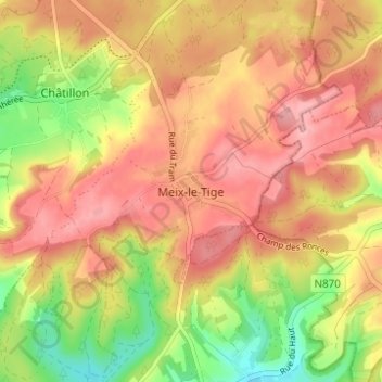
Meix-le-Tige topographic map
Interactive map
Click on the map to display elevation.
About this map
Name: Meix-le-Tige topographic map, elevation, terrain.
Location: Meix-le-Tige, Virton, Luxembourg, Wallonie, 6747, Belgique (49.59520 5.69870 49.63520 5.73870)
Average elevation: 1,145 ft
Minimum elevation: 889 ft
Maximum elevation: 1,322 ft