
Pastoruri topographic map
Interactive map
Click on the map to display elevation.
About this map
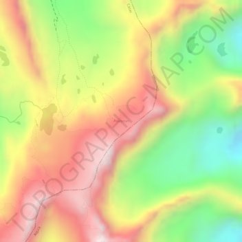
Name: Pastoruri topographic map, elevation, terrain.
Location: Pastoruri, AN-810, Cátac, Recuay, Ancash, Peru (-9.91625 -77.17901 -9.91268 -77.17526)
Average elevation: 16,270 ft
Minimum elevation: 15,318 ft
Maximum elevation: 17,024 ft
Other topographic maps
Click on a map to view its topography, its elevation and its terrain.
Province of Recuay
Province of Recuay, Cátac, Recuay, Ancash, Peru
Average elevation: 13,885 ft