
Mount Bassie topographic map
Interactive map
Click on the map to display elevation.
About this map
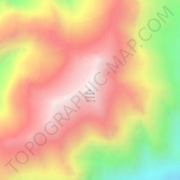
Name: Mount Bassie topographic map, elevation, terrain.
Location: Mount Bassie, Sitka, Alaska, USA (57.05857 -135.03582 57.05867 -135.03572)
Average elevation: 2,920 ft
Minimum elevation: 568 ft
Maximum elevation: 4,469 ft
Other topographic maps
Click on a map to view its topography, its elevation and its terrain.