
Thank you for supporting this site ❤️
Make a donation
Make a donation
Gear up for your next adventure:
As an Amazon Associate, this site earns from qualifying purchases at no extra cost to you.
Katzenrüti topographic map
Click on the map to display elevation.
Thank you for supporting this site ❤️
Make a donation
Make a donation
Gear up for your next adventure:
As an Amazon Associate, this site earns from qualifying purchases at no extra cost to you.
About this map
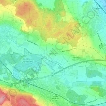
Name: Katzenrüti topographic map, elevation, terrain.
Location: Katzenrüti, Rümlang, Bezirk Dielsdorf, Zurich, 8046, Switzerland (47.41648 8.48675 47.45648 8.52675)
Average elevation: 1,529 ft
Minimum elevation: 1,378 ft
Maximum elevation: 1,821 ft
Thank you for supporting this site ❤️
Make a donation
Make a donation
Gear up for your next adventure:
As an Amazon Associate, this site earns from qualifying purchases at no extra cost to you.