
Klitmøller topographic map
Interactive map
Click on the map to display elevation.
About this map
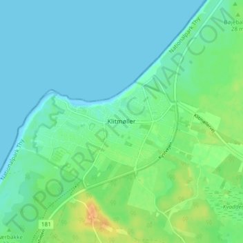
Name: Klitmøller topographic map, elevation, terrain.
Location: Klitmøller, Thisted Municipality, North Denmark Region, Denmark (57.02015 8.47851 57.06015 8.51851)
Average elevation: 26 ft
Minimum elevation: 0 ft
Maximum elevation: 98 ft