Geolocate

Mariyang topographic map

Click on the map to display elevation.

About this map

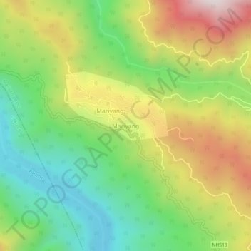
Name: Mariyang topographic map, elevation, terrain.

Location: Mariyang, Mariyang ADC, Upper Siang, Arunachal Pradesh, India (28.46758 95.19717 28.50758 95.23717)

Average elevation: 3,182 ft

Minimum elevation: 1,982 ft

Maximum elevation: 4,862 ft

Gear up for your next adventure:

🌧️Backpack Rain Cover - Keep gear dry in wet weather
🥘Titanium Cookware - Durable, featherlight pots and pans for backpacking
🪶Thermal Camp Blanket - Extra warmth for cold nights
🧢Outdoor Hiking Hat - Sun protection hat for outdoor explorers
🪶Camp Gear Gift Set - Perfect gift bundle for outdoor fans

As an Amazon Associate, this site earns from qualifying purchases at no extra cost to you.