
Château de Rochetaillée topographic map
Interactive map
Click on the map to display elevation.
About this map
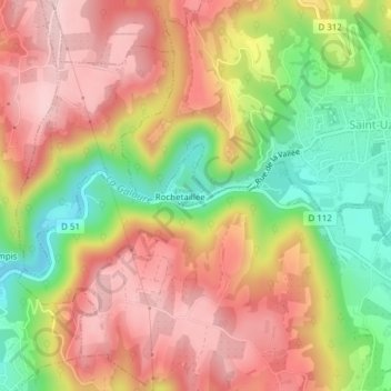
Name: Château de Rochetaillée topographic map, elevation, terrain.
Average elevation: 866 ft
Minimum elevation: 446 ft
Maximum elevation: 1,194 ft