
Donabate topographic map
Interactive map
Click on the map to display elevation.
About this map
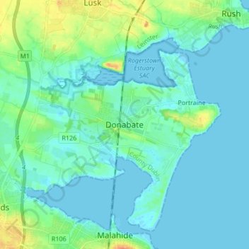
Name: Donabate topographic map, elevation, terrain.
Location: Donabate, Fingal, County Dublin, Leinster, K36 DT91, Ireland (53.44641 -6.18857 53.52641 -6.10857)
Average elevation: 23 ft
Minimum elevation: -7 ft
Maximum elevation: 115 ft