
Kirchweyhe topographic map
Interactive map
Click on the map to display elevation.
About this map
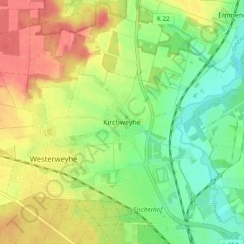
Name: Kirchweyhe topographic map, elevation, terrain.
Location: Kirchweyhe, Uelzen, Nedersaksen, 29579, Duitsland (52.98321 10.51398 53.02321 10.55398)
Average elevation: 190 ft
Minimum elevation: 85 ft
Maximum elevation: 312 ft