
Liberty topographic map
Interactive map
Click on the map to display elevation.
About this map
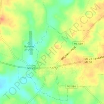
Name: Liberty topographic map, elevation, terrain.
Location: Liberty, Amite County, Mississippi, 39645, United States (31.14870 -90.82028 31.17619 -90.78596)
Average elevation: 351 ft
Minimum elevation: 285 ft
Maximum elevation: 417 ft