
Hot Wells topographic map
Interactive map
Click on the map to display elevation.
About this map
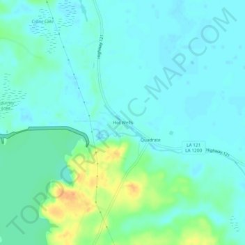
Name: Hot Wells topographic map, elevation, terrain.
Location: Hot Wells, Rapides Parish, Louisiana, 71409, USA (31.31935 -92.73348 31.35935 -92.69348)
Average elevation: 105 ft
Minimum elevation: 75 ft
Maximum elevation: 203 ft