
薄家 topographic map
Interactive map
Click on the map to display elevation.
About this map
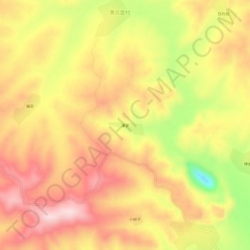
Name: 薄家 topographic map, elevation, terrain.
Location: 薄家, 磐石市, 吉林市, 吉林省, 中国 (42.85890 126.45936 42.89890 126.49936)
Average elevation: 1,115 ft
Minimum elevation: 561 ft
Maximum elevation: 1,467 ft
Other topographic maps
Click on a map to view its topography, its elevation and its terrain.