
Gombaud topographic map
Interactive map
Click on the map to display elevation.
About this map
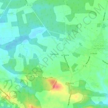
Name: Gombaud topographic map, elevation, terrain.
Average elevation: 105 ft
Minimum elevation: 43 ft
Maximum elevation: 246 ft
Other topographic maps
Click on a map to view its topography, its elevation and its terrain.
Le Branà
France > Nouvelle-Aquitaine > Landes > Saint-Jean-de-Marsacq
Le Branà, Saint-Jean-de-Marsacq, Dax, Landes, Nouvelle-Aquitaine, France métropolitaine, 40230, France
Average elevation: 102 ft