
Sant'Andrea di Sorbello topographic map
Interactive map
Click on the map to display elevation.
About this map
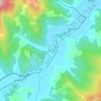
Name: Sant'Andrea di Sorbello topographic map, elevation, terrain.
Location: Sant'Andrea di Sorbello, Cortona, Arezzo, Toscana, Italia (43.27715 12.20163 43.29715 12.22163)
Average elevation: 1,122 ft
Minimum elevation: 886 ft
Maximum elevation: 1,949 ft
Other topographic maps
Click on a map to view its topography, its elevation and its terrain.
Sant'Agata
Italia > Toscana > Arezzo > Cortona > Sant'Agata
Sant'Agata, Cortona, Arezzo, Toscana, 52040, Italia
Average elevation: 830 ft