
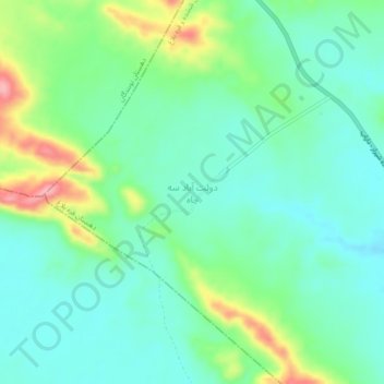
دولت آباد سه چاه topographic map
Interactive map
Click on the map to display elevation.
About this map
Name: دولت آباد سه چاه topographic map, elevation, terrain.
Average elevation: 4,665 ft
Minimum elevation: 4,541 ft
Maximum elevation: 4,984 ft
Other topographic maps
Click on a map to view its topography, its elevation and its terrain.
Zahedshahr
Iran > Fars Province > Fasa County > دهستان فدشکوییه
Zahedshahr, دهستان فدشکوییه, بخش شیبکوه, Fasa County, Fars Province, Iran
Average elevation: 4,003 ft