
Schallenberg topographic map
Interactive map
Click on the map to display elevation.
About this map
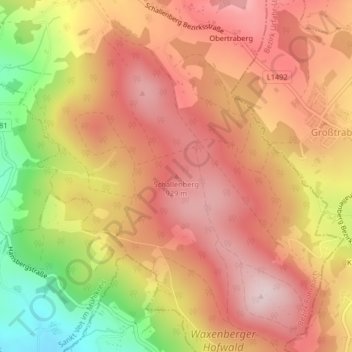
Name: Schallenberg topographic map, elevation, terrain.
Location: Schallenberg, Helfenberg, Bezirk Rohrbach, 4184, Österreich (48.50964 14.18405 48.50974 14.18415)
Average elevation: 2,707 ft
Minimum elevation: 2,005 ft
Maximum elevation: 3,127 ft