
贾寨村 topographic map
Interactive map
Click on the map to display elevation.
About this map
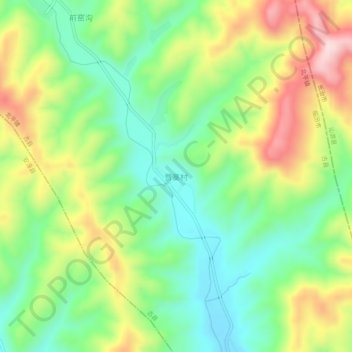
Name: 贾寨村 topographic map, elevation, terrain.
Location: 贾寨村, 北平镇, 古县, 临汾市, 山西省, 中国 (36.46069 112.12414 36.50069 112.16414)
Average elevation: 4,049 ft
Minimum elevation: 3,615 ft
Maximum elevation: 4,715 ft
Other topographic maps
Click on a map to view its topography, its elevation and its terrain.