
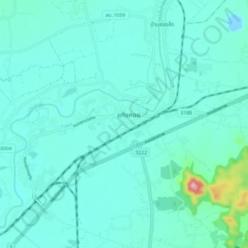
แก่งคอย topographic map
Interactive map
Click on the map to display elevation.
About this map
Name: แก่งคอย topographic map, elevation, terrain.
Location: แก่งคอย, ตะกุด, Saraburi, 18110, Thaïlande (14.54978 100.96013 14.62978 101.04013)
Average elevation: 98 ft
Minimum elevation: -30 ft
Maximum elevation: 787 ft