
Madukkur topographic map
Interactive map
Click on the map to display elevation.
About this map
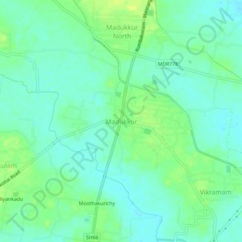
Name: Madukkur topographic map, elevation, terrain.
Average elevation: 56 ft
Minimum elevation: 33 ft
Maximum elevation: 92 ft
Other topographic maps
Click on a map to view its topography, its elevation and its terrain.
Adirampattinam
India > Tamil Nadu > Pattukkottai
Adirampattinam, Pattukkottai, Thanjavur District, Tamil Nadu, 614701, India
Average elevation: 16 ft