
حراز topographic map
Interactive map
Click on the map to display elevation.
About this map
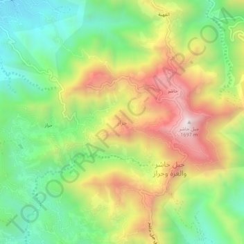
Name: حراز topographic map, elevation, terrain.
Location: حراز, Al ddayer, Jazan Province, 23501, Saudi Arabia (17.29370 43.14449 17.33370 43.18449)
Average elevation: 3,701 ft
Minimum elevation: 2,326 ft
Maximum elevation: 5,554 ft