
San Vicente topographic map
Interactive map
Click on the map to display elevation.
About this map
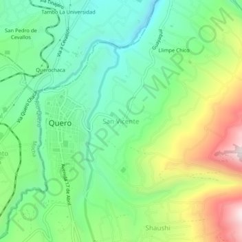
Name: San Vicente topographic map, elevation, terrain.
Location: San Vicente, Quero, Tungurahua, Ecuador (-1.39948 -78.61850 -1.35948 -78.57850)
Average elevation: 9,902 ft
Minimum elevation: 9,006 ft
Maximum elevation: 11,621 ft