
Laguna de Chignahuapan topographic map
Interactive map
Click on the map to display elevation.
About this map
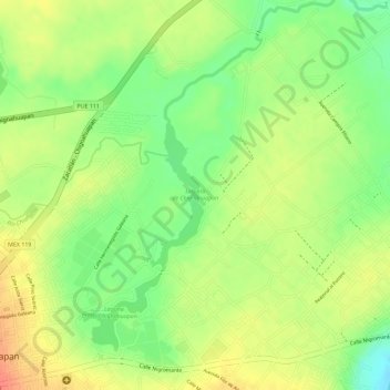
Name: Laguna de Chignahuapan topographic map, elevation, terrain.
Location: Laguna de Chignahuapan, Chignahuapan, Puebla, México (19.84414 -98.01918 19.85476 -98.01518)
Average elevation: 7,428 ft
Minimum elevation: 7,326 ft
Maximum elevation: 7,510 ft