
Ulihatu topographic map
Interactive map
Click on the map to display elevation.
About this map
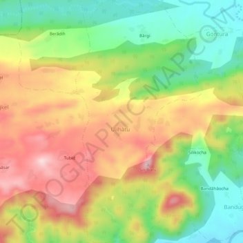
Name: Ulihatu topographic map, elevation, terrain.
Location: Ulihatu, Erki(Tamar II), Khunti, Jharkhand, India (22.95254 85.48159 22.99698 85.50686)
Average elevation: 1,352 ft
Minimum elevation: 850 ft
Maximum elevation: 1,900 ft