
Tower topographic map
Interactive map
Click on the map to display elevation.
About this map
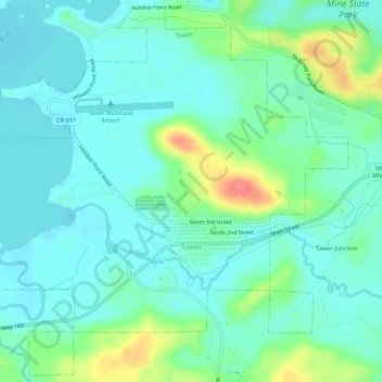
Name: Tower topographic map, elevation, terrain.
Location: Tower, Saint Louis County, Minnesota, USA (47.79279 -92.30833 47.82762 -92.25471)
Average elevation: 1,401 ft
Minimum elevation: 1,345 ft
Maximum elevation: 1,572 ft