
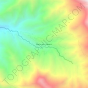
Hacienda Llaguen topographic map
Interactive map
Click on the map to display elevation.
About this map
Name: Hacienda Llaguen topographic map, elevation, terrain.
Location: Hacienda Llaguen, Sinsicap, Otuzco, La Libertad, Perú (-7.74536 -78.75973 -7.70536 -78.71973)
Average elevation: 8,091 ft
Minimum elevation: 6,194 ft
Maximum elevation: 10,663 ft