
Stevenston topographic map
Interactive map
Click on the map to display elevation.
About this map
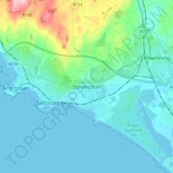
Name: Stevenston topographic map, elevation, terrain.
Location: Stevenston, North Ayrshire, Scotland, KA20 3HE, United Kingdom (55.60059 -4.79681 55.68059 -4.71681)
Average elevation: 89 ft
Minimum elevation: -3 ft
Maximum elevation: 577 ft