
上城 topographic map
Interactive map
Click on the map to display elevation.
About this map
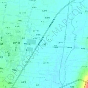
Name: 上城 topographic map, elevation, terrain.
Location: 上城, 太平村, 草海镇, 鹤庆县, 大理白族自治州, 云南省, 中国 (26.54169 100.16925 26.58169 100.20925)
Average elevation: 7,211 ft
Minimum elevation: 7,185 ft
Maximum elevation: 7,352 ft