
Oued Sly topographic map
Interactive map
Click on the map to display elevation.
About this map
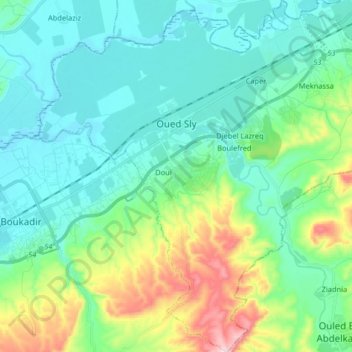
Name: Oued Sly topographic map, elevation, terrain.
Location: Oued Sly, Boukadir District, Chlef, 02011, Algeria (36.01635 1.13605 36.14748 1.29316)
Average elevation: 535 ft
Minimum elevation: 220 ft
Maximum elevation: 1,611 ft