
丹江口市 topographic map
Interactive map
Click on the map to display elevation.
About this map
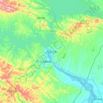
Name: 丹江口市 topographic map, elevation, terrain.
Location: 丹江口市, 大坝路, 丹江口市, 十堰市, 湖北省, 中国 (32.38300 111.34701 32.70300 111.66701)
Average elevation: 705 ft
Minimum elevation: 266 ft
Maximum elevation: 2,139 ft