
Mawai topographic map
Interactive map
Click on the map to display elevation.
About this map
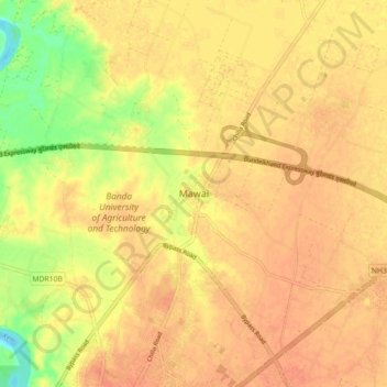
Name: Mawai topographic map, elevation, terrain.
Location: Mawai, Banda, Uttar Pradesh, India (25.49353 80.31211 25.57353 80.39211)
Average elevation: 394 ft
Minimum elevation: 299 ft
Maximum elevation: 430 ft