
Mogadishu District topographic map
Interactive map
Click on the map to display elevation.
About this map
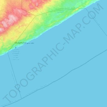
Name: Mogadishu District topographic map, elevation, terrain.
Location: Mogadishu District, Banaadir, 2561, Somalia (1.79347 45.26908 2.18309 45.72849)
Average elevation: 62 ft
Minimum elevation: 0 ft
Maximum elevation: 594 ft