
Wadi Arab Dam topographic map
Interactive map
Click on the map to display elevation.
About this map
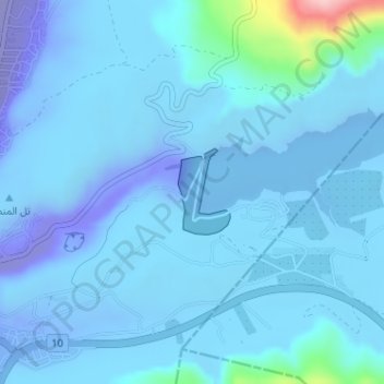
Name: Wadi Arab Dam topographic map, elevation, terrain.
Average elevation: -187 ft
Minimum elevation: -659 ft
Maximum elevation: 640 ft
Other topographic maps
Click on a map to view its topography, its elevation and its terrain.
Zemaliye
Jordan > Irbid > Aghwar Janoobiyah Sub-District
Zemaliye, Aghwar Janoobiyah Sub-District, Aghwar Shamaliyah District, Irbid, Jordan
Average elevation: -554 ft
وقاص
Jordan > Irbid > Aghwar Janoobiyah Sub-District > وقاص
وقاص, Aghwar Janoobiyah Sub-District, Aghwar Shamaliyah District, Irbid, Jordan
Average elevation: -571 ft