
Hillegom topographic map
Interactive map
Click on the map to display elevation.
About this map
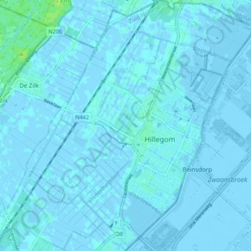
Name: Hillegom topographic map, elevation, terrain.
Location: Hillegom, Zuid-Holland, Nederland (52.27124 4.54228 52.31840 4.61170)
Average elevation: 0 ft
Minimum elevation: -26 ft
Maximum elevation: 36 ft
Other topographic maps
Click on a map to view its topography, its elevation and its terrain.
Weerestein
Nederland > Zuid-Holland > Hillegom
Weerestein, Hillegom, Zuid-Holland, Nederland, 2181 GC, Nederland
Average elevation: 0 ft