
Union Grove topographic map
Click on the map to display elevation.
About this map
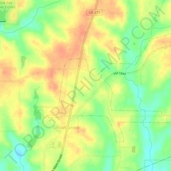
Name: Union Grove topographic map, elevation, terrain.
Location: Union Grove, Upshur County, Texas, United States (32.56813 -94.92835 32.59197 -94.88570)
Average elevation: 384 ft
Minimum elevation: 299 ft
Maximum elevation: 453 ft
Upshur County trails, hiking, mountain biking, running and outdoor activities
Other topographic maps
Click on a map to view its topography, its elevation and its terrain.