
La Unión topographic map
Interactive map
Click on the map to display elevation.
About this map
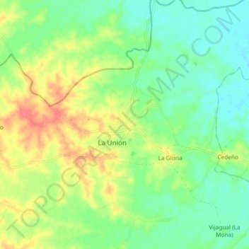
Name: La Unión topographic map, elevation, terrain.
Location: La Unión, San Jorge, Sucre, Caribe, Colombia (8.81181 -75.32046 8.89181 -75.24046)
Average elevation: 174 ft
Minimum elevation: 95 ft
Maximum elevation: 282 ft