
Noord topographic map
Interactive map
Click on the map to display elevation.
About this map
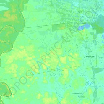
Name: Noord topographic map, elevation, terrain.
Location: Noord, Para, Suriname (5.53337 -55.41692 5.66760 -55.17761)
Average elevation: 23 ft
Minimum elevation: -52 ft
Maximum elevation: 69 ft