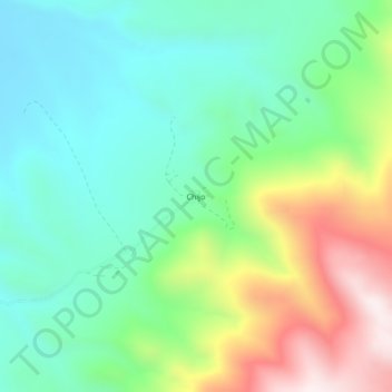
Chijo topographic map
Interactive map
Click on the map to display elevation.
About this map
Name: Chijo topographic map, elevation, terrain.
Average elevation: 13,015 ft
Minimum elevation: 12,238 ft
Maximum elevation: 14,669 ft

Click on the map to display elevation.
Name: Chijo topographic map, elevation, terrain.
Average elevation: 13,015 ft
Minimum elevation: 12,238 ft
Maximum elevation: 14,669 ft