
Hassi Delaa topographic map
Interactive map
Click on the map to display elevation.
About this map
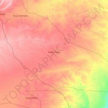
Name: Hassi Delaa topographic map, elevation, terrain.
Location: Hassi Delaa, Daïra Hassi R'Mel, Laghouat, 03022, Algérie (32.99046 3.15658 33.79995 4.47980)
Average elevation: 2,336 ft
Minimum elevation: 1,421 ft
Maximum elevation: 3,215 ft
Other topographic maps
Click on a map to view its topography, its elevation and its terrain.
Hassi R'Mel
Algérie > Laghouat > Daïra Hassi R'Mel
Hassi R'Mel, Daïra Hassi R'Mel, Laghouat, Algérie
Average elevation: 2,480 ft