
Laufach topographic map
Interactive map
Click on the map to display elevation.
About this map
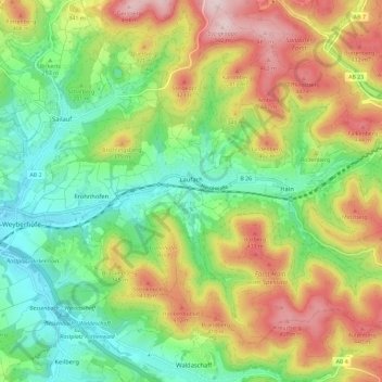
Name: Laufach topographic map, elevation, terrain.
Location: Laufach, Landkreis Aschaffenburg, Bavière, 63846, Allemagne (49.98456 9.24640 50.03640 9.36170)
Average elevation: 961 ft
Minimum elevation: 486 ft
Maximum elevation: 1,657 ft