
High Meadows topographic map
Interactive map
Click on the map to display elevation.
About this map
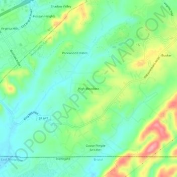
Name: High Meadows topographic map, elevation, terrain.
Location: High Meadows, Washington County, Virginia, United States (36.59011 -82.12541 36.63011 -82.08541)
Average elevation: 1,919 ft
Minimum elevation: 1,785 ft
Maximum elevation: 2,192 ft