
Presa Angostura topographic map
Interactive map
Click on the map to display elevation.
About this map
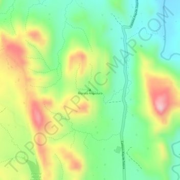
Name: Presa Angostura topographic map, elevation, terrain.
Location: Presa Angostura, Municipio Aiquile, Campero, CBA, Bolivia (-18.15418 -65.18309 -18.15386 -65.18302)
Average elevation: 7,385 ft
Minimum elevation: 7,067 ft
Maximum elevation: 7,802 ft