
Langreo / Llangréu topographic map
Interactive map
Click on the map to display elevation.
About this map
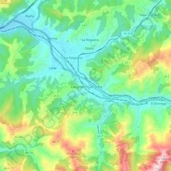
Name: Langreo / Llangréu topographic map, elevation, terrain.
Location: Langreo / Llangréu, Llangréu/Langreo, Asturies, 33949, Espagne (43.25501 -5.72343 43.33501 -5.64343)
Average elevation: 1,257 ft
Minimum elevation: 587 ft
Maximum elevation: 2,828 ft