
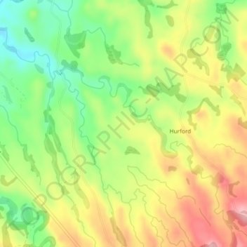
Tapuae Stream topographic map
Interactive map
Click on the map to display elevation.
About this map
Name: Tapuae Stream topographic map, elevation, terrain.
Average elevation: 354 ft
Minimum elevation: 121 ft
Maximum elevation: 600 ft
Other topographic maps
Click on a map to view its topography, its elevation and its terrain.
Ōakura River
New Zealand > Taranaki > New Plymouth District > Oakura
Ōakura River, Ōakura, New Plymouth District, Taranaki, New Zealand
Average elevation: 837 ft