
Agramunt topographic map
Interactive map
Click on the map to display elevation.
About this map
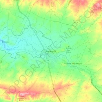
Name: Agramunt topographic map, elevation, terrain.
Location: Agramunt, Urgel, Lérida, Catalogne, 25310, Espagne (41.74767 1.05868 41.82767 1.13868)
Average elevation: 1,198 ft
Minimum elevation: 1,004 ft
Maximum elevation: 1,509 ft