
San Luis Ajajalpan topographic map
Interactive map
Click on the map to display elevation.
About this map
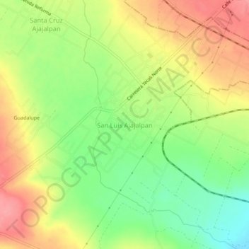
Name: San Luis Ajajalpan topographic map, elevation, terrain.
Location: San Luis Ajajalpan, Tecali de Herrera, Puebla, 75200, México (18.91361 -97.95694 18.95361 -97.91694)
Average elevation: 7,156 ft
Minimum elevation: 7,001 ft
Maximum elevation: 7,306 ft