
Casahuala topographic map
Interactive map
Click on the map to display elevation.
About this map
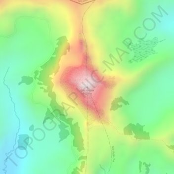
Name: Casahuala topographic map, elevation, terrain.
Location: Casahuala, San Fernando, Ambato, Tungurahua, Ecuador (-1.16018 -78.78177 -1.16008 -78.78167)
Average elevation: 13,379 ft
Minimum elevation: 12,444 ft
Maximum elevation: 14,764 ft