
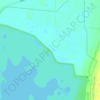
Warranga basin Dam topographic map
Interactive map
Click on the map to display elevation.
About this map
Name: Warranga basin Dam topographic map, elevation, terrain.
Average elevation: 374 ft
Minimum elevation: 364 ft
Maximum elevation: 436 ft
Other topographic maps
Click on a map to view its topography, its elevation and its terrain.
Waranga Shores
Australia > Victoria > Waranga Shores
Waranga Shores, Shire of Campaspe, Loddon Mallee, Victoria, Australia
Average elevation: 407 ft